Return to Photos Page


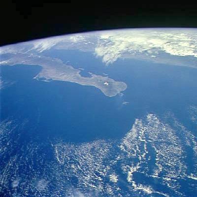
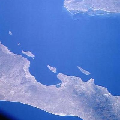
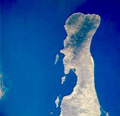
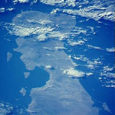
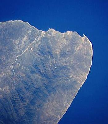
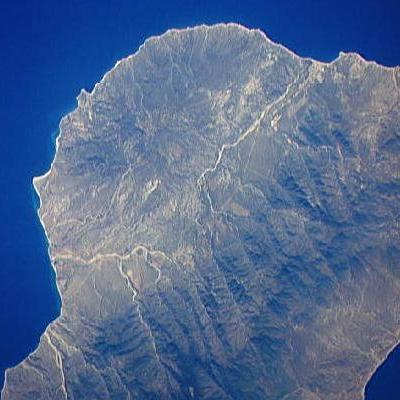
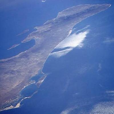
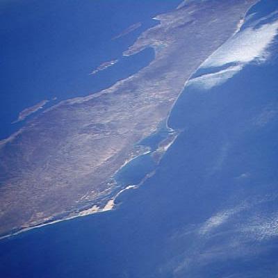
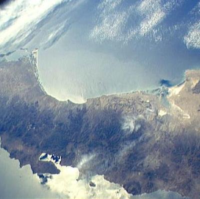
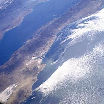
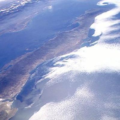
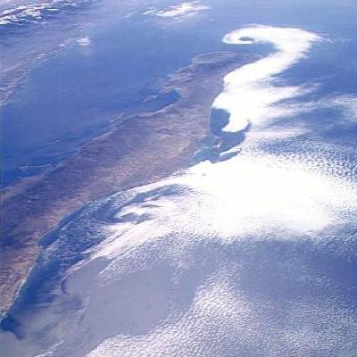
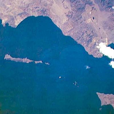
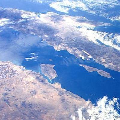
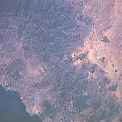
These photos are provided by NASA. I have taken the liberty of cropping the images to fit the standard size I use on these photo pages (400 pixels for the maximum dimension). The cropped images have not been reduced in size from that provided by NASA, so no resolution has been lost. In a few cases the images were reoriented to what was, to me, a more sensible direction.

Fred Metcalf

Baja California Information Pages
Photos From Space


Click on the images to display larger versions.

If the large photo comes up in a separate window, click in that window to remove it.

Peninsula
(21 JPEG Photo)
Peninsula - I
Peninsula
(26 JPEG Photo)
Peninsula - II
La Paz - Mainland
(16 JPEG Photo)
La Paz Bay to the Mainland
La Paz - Cape
(16 JPEG Photo)
La Paz Bay to the Cape - I
La Paz - Cape
(30 JPEG Photo)
La Paz Bay to the Cape - II
West Cape
(20 JPEG Photo)
West Cape
East Cape
(28 JPEG Photo)
East Cape
Mag Bay - La Paz Bay - Cape
(16 JPEG Photo)
Mag Bay - La Paz Bay - Cape
Mag Bay - La Paz Bay
(16 JPEG Photo)
Mag Bay - La Paz Bay
Ballenas - Mag
(26 JPEG Photo)
Bahia de Ballenas - Mag Bay
Pacific Clouds
(28 JPEG Photo)
Pacific Coast Clouds - I
Pacific Clouds
(25 JPEG Photo)
Pacific Coast Clouds - II
Pacific Clouds
(25 JPEG Photo)
Pacific Coast Clouds - III
Midriff Islands
(19 JPEG Photo)
Midriff Islands - I
Midriff Islands
(33 JPEG Photo)
Midriff Islands - II
Mystery Spot
(27 JPEG Photo)
Mystery Spot


Contents Page: http://math.ucr.edu/ftm/baja.html Copyright 1995-2011 Fred T. Metcalf