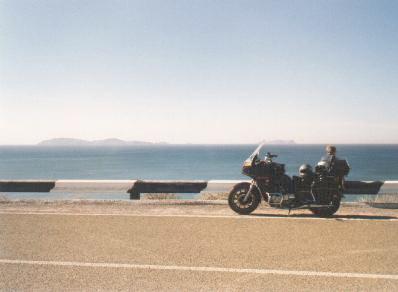
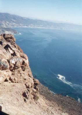
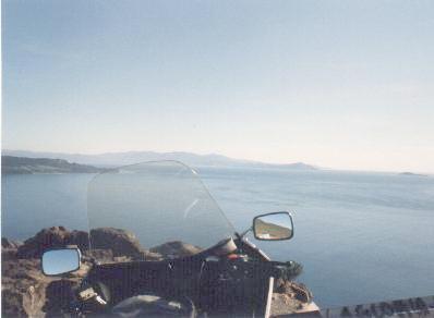
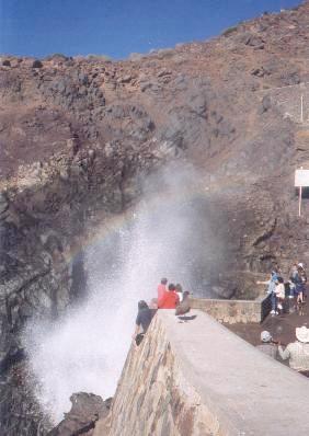
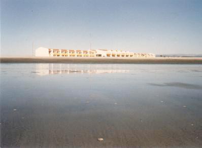
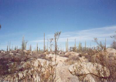
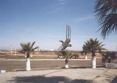
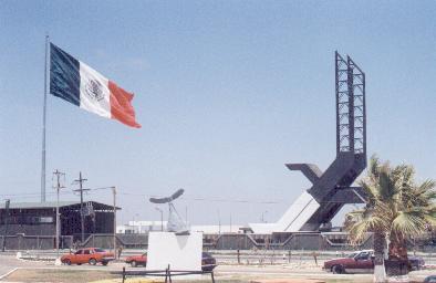
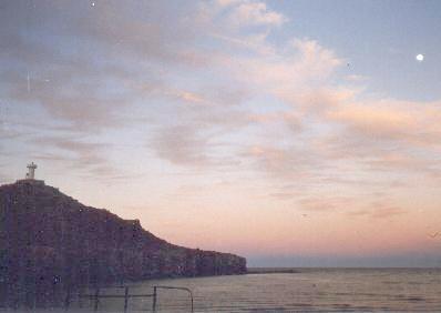
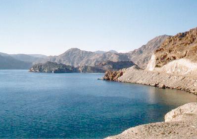
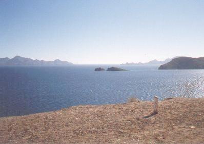
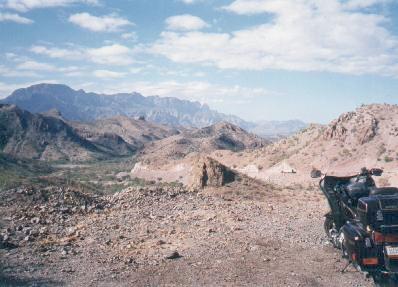
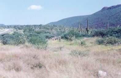
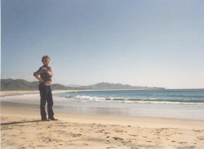
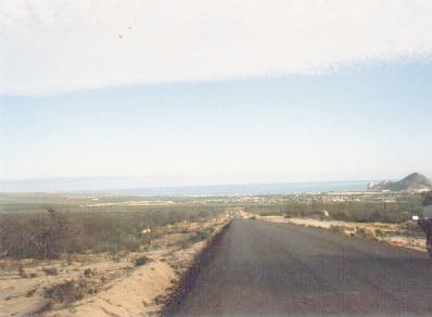
Click on the images to display larger versions. If the large photo comes up in a separate window, click in that window to remove it. (12K JPEG Photo) Islas Coronados (From the toll road.) (18K JPEG Photo) El Mirador - Overlook north of Ensenada. (10K JPEG Photo) Bahia de Todos Santos (From the overlook north of Ensenada.) (20K JPEG Photo) La Bufadora (Seaspout south of Ensenada.) (10K JPEG Photo) Late afternoon at Punta Banda. (South of Ensenada.) (8K JPEG Photo) Hotel La Pinta - San Quintin (On the wide beach at San Quintin.) (19K JPEG Photo) Boojum Trees - Cataviña (18K JPEG Photo) Highway 1 - North of Punta Prieta (17K JPEG Photo) State Line and Eagle Monument (Then) (At the 28th parallel.) (15K JPEG Photo) State Line and Eagle Monument (Now) (At the 28th parallel.) (10K JPEG Photo) Sunset/Moonrise At Mulegé (17K JPEG Photo) Highway 1 and Sea of Cortez (Bahia Concepción) (14K JPEG Photo) Highway 1 and Sea of Cortez (Islands off Loreto) (24K JPEG Photo) Highway 1 - Mountains south of Loreto (16K JPEG Photo) Highway 1 - Lush vegetation south of Loreto (12K JPEG Photo) Playa de Cerritos - Pacific Coast (South of Todos Santos.) (10K JPEG Photo) Road to Land's End (North of Cabo San Lucas.)